📦
No Image Available
GIS Routing
School transportation routing, mapping, and boundary analysis software.
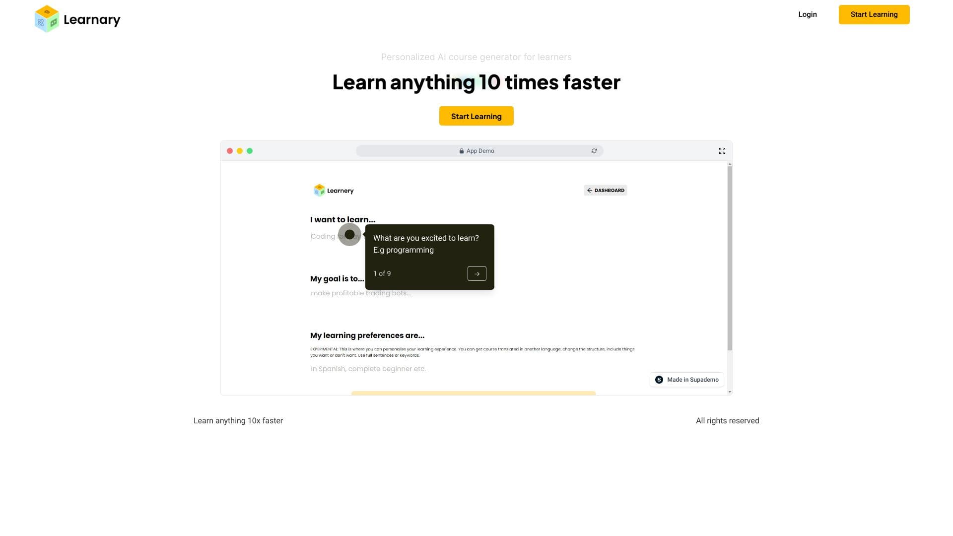
GIS Routing Introduction
What is GIS Routing?
School transportation routing, mapping, and boundary analysis software.
How to use GIS Routing?
Visit website for more info
Why Choose GIS Routing?
Choosing this is a no-brainer if you need school transportation routing and mapping software that makes boundary analysis and route planning a breeze.
GIS Routing Features
Features
Feature information not available.
Pricing
Pricing information not available
GIS Routing Tags
Information not available.
Select a rating